Introduction
Tutorials
Getting familiar with GeoData Manager
Changing how GeoData Manager looks
Scenarios for using GeoData Manager
Data types and nodes
Help with data types and nodes
Getting familiar with GeoData Manager
Changing how GeoData Manager looks
Scenarios for using GeoData Manager
Help with data types and nodes
All tools to select data sets select data sets of the same data type, which might seem to limit the kind of data you can select to output or graph. For example, you might want to compare measured, interpreted and simulated values of temperature down a well, and there is no obvious way to work with these three data types together. However, GeoData Manager has enough explicit or implicit ways to work with data sets of more than one data type:
Usually the node above a group of sub-nodes has data sets for all those sub-nodes. For example, the node Interpreted has data sets for all the nodes below: Temperature, Pressure, Feed Zones and so on.
Data sets in Reservoir and Steamfield are in the same header table, and have the same kind of detail table. You can work with data sets of both types at either node: in the filter bar at either node, either select No Filter or enter appropriate Well Test Types.
If all else fails, you can open GeoData Manager in more than one window and display different data sets in each window read more.
The remaining ways of working with data sets of more than one data type involve Multiple Graph, and once the data is in Multiple Graph you can graph it or export it to a file:
Use second worksheet to select data sets of two data types graphing:
Many data types are from a well and have a depths and values at those depths: in Reservoir, Interpreted, Down Hole Logging and Geology. An example is a downhole temperature test, which has a list of temperatures at different depths. For these data types, you can usually include the each value's elevation, vertical depth, Location E and Location N when you output the value. To do this, tag the downhole data to use, then:
Multiple Graph: Click the the  beside
 Multiple Graph and click Depth/Elevation/Location Graph.
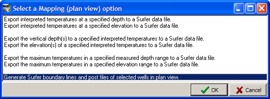
Map, X-Section and Process: Include options to output location data, for example the bottom choice here:
For an example where GeoData Manager includes location information plus data of several other data types see here.
If data types have similar fields, you can accumulate data sets in Multiple Graph's one or two worksheets, then graph data or export it to a file. For example, to graph or export measured, interpreted and simulated values of temperature down a well:
Tag the simulated data set to use and export it to the clipboard.
Tag the interpreted data set to use and add it to the second worksheet.
Tag the measured data set to use and start Multiple Graph.
Import the simulated data set to the measured data's worksheet. You need to import the simulated data set's Temperature into the worksheet's Well Temperature.
Adjust the Settings to see the three graphs.
If you do fancy things like this, ensure that each lot of detail data in a worksheet has a unique key, so Multiple Graph can identify each lot as a different series. Read about keys.